Traversing Ha Giang Loop: a photographic journey
The allure of the road winding through Quan Ba, Yen Minh, Dong Van, and Meo Vac districts has made it a cherished route among tourists exploring Ha Giang Province.

These images were captured by photographer Pham Huy Trung from Ho Chi Minh City during multiple visits to the northernmost province of Ha Giang.
In the winter days of Lao Xa Village, Sung La Commune, Dong Van District, a delicate layer of frost forms, covering the trees.
Approximately 80-90% of visitors to Ha Giang embark on a journey starting from the city center and traversing through the districts of Quan Ba, Yen Minh, Dong Van, Meo Vac, and back. The route, also known as the Ha Giang Loop, unveils the diverse landscapes of the rocky plateau, ranging from mountains, forests, to villages.

Lao Xa Village, featured in these photographs, stands out for its untamed and unspoiled essence, untouched by the hands of tourism development.

The film studio in Sung La, featured in "The Story of Pao," is now a popular tourist spot, especially charming in spring when white plum blossoms cover the landscape.

Moving on to Pho Cao Commune in Dong Van District, the tranquility of the spring scenery, especially in February post-Lunar New Year, captured the heart of photographer Trung.

Scenes of daily life, such as people drying blankets outside their doors in Pho Cao, offer a glimpse into the authentic rhythm of the region.

Spring arrives early in a village near Meo Vac District, signaled by the blossoming peach trees.

The journey through Ha Giang includes conquering the famed 9-Turn Pass, connecting Pho Cao with Sung La, a route renowned for its continuous, winding, and steep turns. Some adventurers who have braved the Dong Van Karst Plateau consider this pass the most daring stretch of the journey.

The legendary Ma Pi Leng Pass, one of Vietnam's four great passes, makes a dim appearance under the warm sunlight.
Trung, opting for a pickup truck instead of the more common motorbikes, describes the experience of driving through the road as impressive, offering firsthand views of the landscapes of Ha Giang's mountains and forests.

A bird's-eye view of vegetable fields in Quan Ba District.

Houses adorned with yin and yang tile roofs in Sang Tung Commune, Dong Van District.

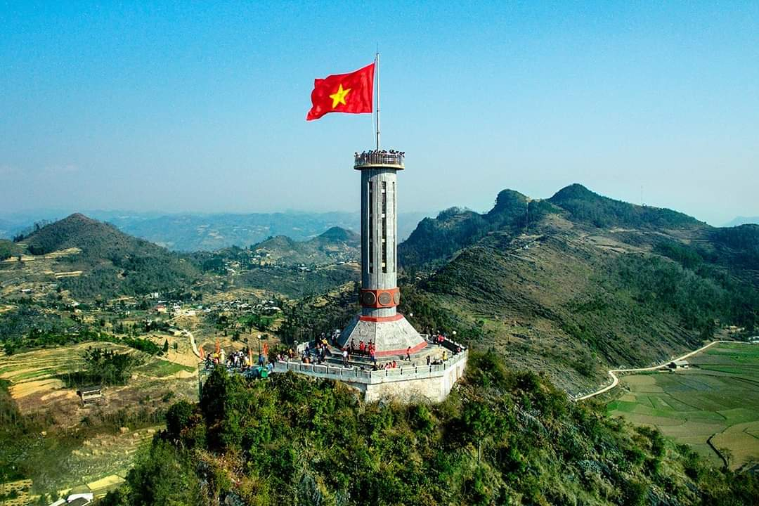
Perched at an elevation of 1,470 meters above sea level, the Lung Cu flagpole sits approximately 3.3 kilometers from the northernmost point of Vietnam. Trung participated in a flag-raising ceremony here alongside border guards.

Trung seized a moment featuring a mother and her child strolling together amidst the spring days. Their path led them through a peach blossom tree adorned with pink flowers in full bloom.
Photos by Pham Huy Trung
By Tu Nguyen


